
Aerial Services Built Around the Outcome.
Every project begins with the intended result. Aurevo reviews what the client needs to see, document, measure, monitor, or communicate, then confirms the location, timeline, deliverables, site conditions, equipment, processing, and operational requirements before preparing a quote.
OUR SERVICES
01
Aerial Media and Marketing
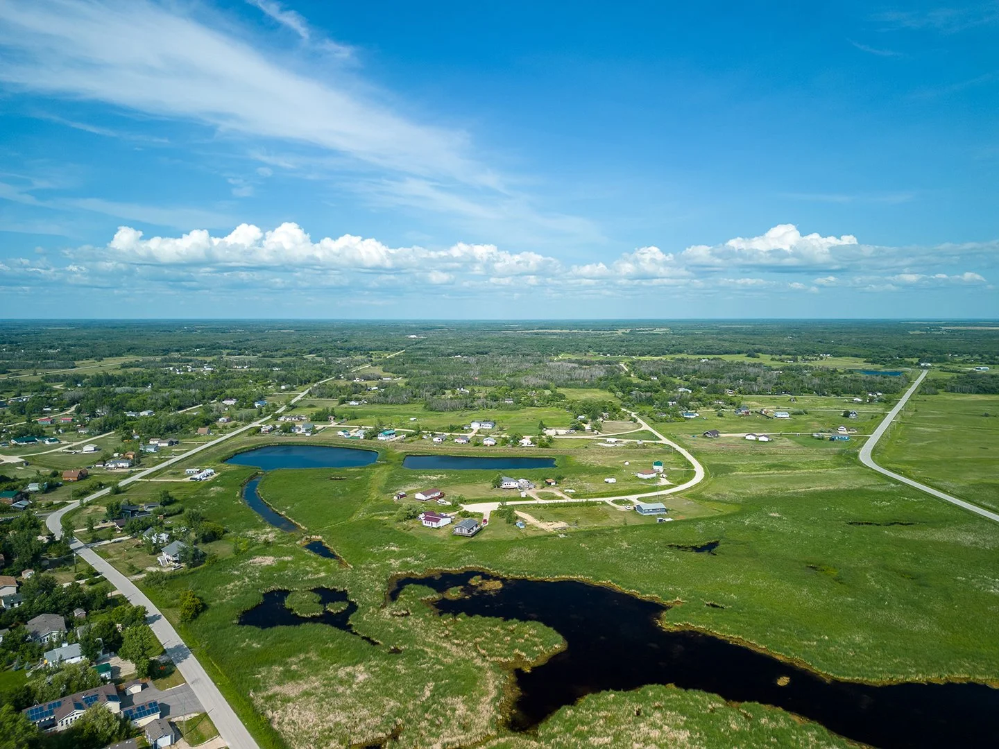
Polished aerial photography, cinematic footage, promotional edits, branded content, social cuts, highlight reels, and visual context for properties, organizations, venues, campaigns, tourism, hospitality, and events

02
Inspection, Thermal and Asset Documentation
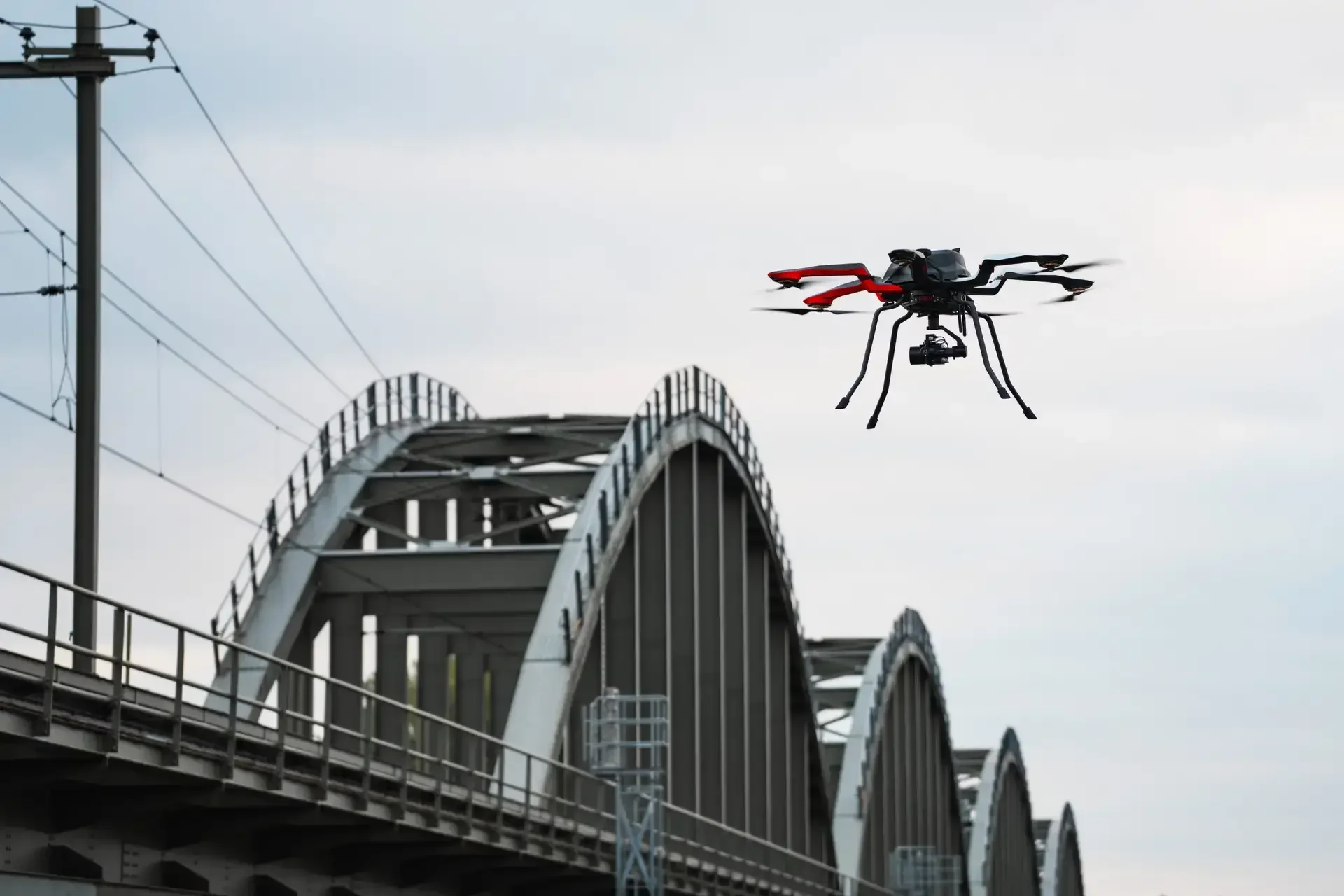
High-resolution visual and approved thermal data collection for roofs, facades, facilities, solar arrays, utilities, infrastructure, telecom assets, insurance documentation, storm impacts, and other difficult-to-access conditions

03
Mapping and Geospatial Support
Reference orthomosaics, site maps, 3D reality capture, progress overlays, asset inventories, approved volumetric or precision capture, and GIS/CAD reference support. Intended use and professional requirements are reviewed before commitment.

04
Agriculture, Forestry and Land Management
Visual and multispectral data collection for crops, vegetation, acreage, drainage, land conditions, forestry, and resource planning. This category does not promise spraying or chemical application.

05
Solar, Energy and Utilities
Visual, thermal, mapping, and progress support for solar installations, energy assets, utility poles and corridors, facilities, stormwater systems, and infrastructure. Capability and reporting level are confirmed for each scope.
06
Progress, Recurring and Multisite Programs
Scheduled construction documentation, capital-project records, portfolio inspections, regional campaigns, standardized reporting, and recurring local capture across multiple locations through one coordinated point of contact.
Ready to join Network?
Apply today and take text step forward